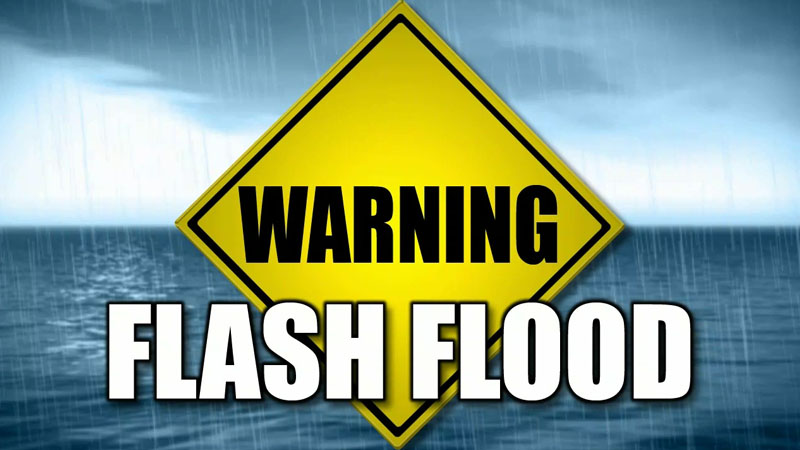
A flash flood watch is in effect for low lying and flood prone areas of Montserrat, St. Kitts, Nevis, Anguilla and the British virgin islands valid until midnight. A flash flood watch means that moderate to major flooding is possible but not imminent in the watch area. Flash flooding is a very dangerous situation.
Residents in low lying and flood prone areas should make preparations for flooding to safe guard life and property. They should be prepared to move to higher ground if flooding rains develop or a flash flood warning is issued.
An active tropical moving over the Leeward Islands is causing periodic heavy showers and thunderstorms. Already, up to 3/4 inch of rain has fallen in some places in the last 4 hours and an additional 1 to 2 inches is expected in the next 8 hours. Hence, moderate flooding of low lying and flood prone areas is possible.
Antigua and Barbuda and St. Kitts Meteorological Services will continue to monitor the weather situation. Please stay tuned to local radio or television for watch updates and possible warnings.
*********************
The St. Kitts Meteorological Services is now monitoring three (3) areas of disturbance associated with low pressure areas in the mid Atlantic Ocean. The closest one to the island chain is about 800miles due east of the Leewards and is moving westerly at about 15mph to 20mph. The second system is further east at about 1500miles east of the Leewards and moving westerly to northwesterly at about 15-mph – 20mph. The third system has recently moved off the African coast and is quite some distance away from the Leewards.
Based on the information analyzed at 2pm (Wednesday 16th August 2017) the first system will be in the vicinity of the Leeward Islands by this weekend (late Friday). The early projections are for it to pass to the south of the federation. The second system and third systems are expected to be in the vicinity of the islands by early and late next week respectively.
Depending on how close the systems pass us here in St. Kitts-Nevis, the potential for an increase in cloudiness and possible shower activity would be likely heightened. Additional information on the closest disturbance will be reflected in the extended forecast this evening (Wednesday 16th August 2017).
The other systems will be monitored as the days progress and updates on them will be provided accordingly. Residents are reminded that the systems continue to develop, albeit slowly, and as such we at the St. Kitts Meteorological Services will monitor their potential track closely and provide updates in future bulletins
Residents are also therefore encouraged to continue listening out for official forecasts and bulletins from the St. Kitts Meteorological Services.
Leave a Reply