
The CariCOF Climate Outlooks for September to November 2026 are now available. These include:
- Atlantic Hurricane Season Outlook (August Update)
- Heat Outlook
- Flash Flood Potential Outlook (Experimental)
- Temperature Outlook Maps
- Precipitation Outlook Maps
- Wet Days & Wet Spells Outlook
- Drought Outlook
- Dry Spells Outlook and
- The Caribbean Climate Outlook Newsletter
The following excerpt from CariCOF’s Caribbean Climate Outlook Newsletter summarizes the climate conditions and related hazards for the upcoming 3-month period September to November 2026:
During the second half of the Atlantic Hurricane Season, the late Caribbean Wet and Heat Seasons, very strong El Niño conditions in the Pacific imply:
(i) potential expansion of areas with impactful drought;
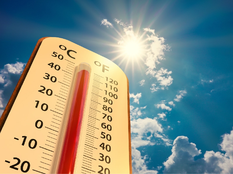
(ii) humid heat peaking in September (and October in the Guianas), culminating in heatwaves;
(iii) unusually irregular and infrequent tropical cyclone activity;
(iv) unusually low shower, wet spell and excessive rainfall event frequency; nevertheless, high to extremely high potential for flooding, flash floods, cascading hazards and associated impacts remains across the region, with the possible exception of the ABC Islands and French Guiana;
(v) coral reef bleaching potential around the Bahamas and the Greater Antilles.
Dusty Saharan air intrustions into the Caribbean tend to be less frequent compared to other times of the year because the tradewinds slacken. However, such intrusions can further inhibit tropical cyclone activity, while exacerbating humid heat and deteriorating air quality.