The CariCOF Climate Outlooks for June to August 2026 are now available. These include:
- Atlantic Hurricane Season Outlook (June to November 2026)
- Flash Flood Potential Outlook (Experimental)
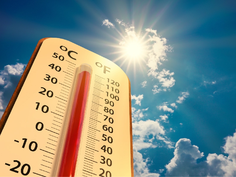
- Temperature Outlook Maps
- Precipitation Outlook Maps
- Wet Days & Wet Spells Outlook
- Drought Outlook
- Dry Spells Outlook and
- The Caribbean Climate Outlook Newsletter
The following excerpt from CariCOF’s Caribbean Climate Outlook Newsletter summarizes the climate conditions and related hazards for the upcoming 3-month period June to August 2026:
El Niño is developing and strengthening in the Pacific. This, alongside forecasted rapid warming of waters in and around the Caribbean implies:
(i) a Caribbean Heat Season with heatwaves gradually ramping up, and night- and daytime temperatures possibly matching JJA 2024 records in the northwest of the region;
(ii) potentially increased Atlantic Hurricane Season activity in the northern Caribbean;
(iii) progressive, though likely slower than usual alleviation of drought impacts and wildfire risk into August in the southeastern Caribbean;
(iv) slower than usual increase in rainfall frequency than in most years, although shower intensity should rise, resulting in high to extremely high potential for flooding, flash floods, cascading hazards and associated impacts. Intrusions of dusty Saharan air will likely be frequent and inhibit tropical cyclone activity, but exacerbate humid heat and deteriorate air quality.